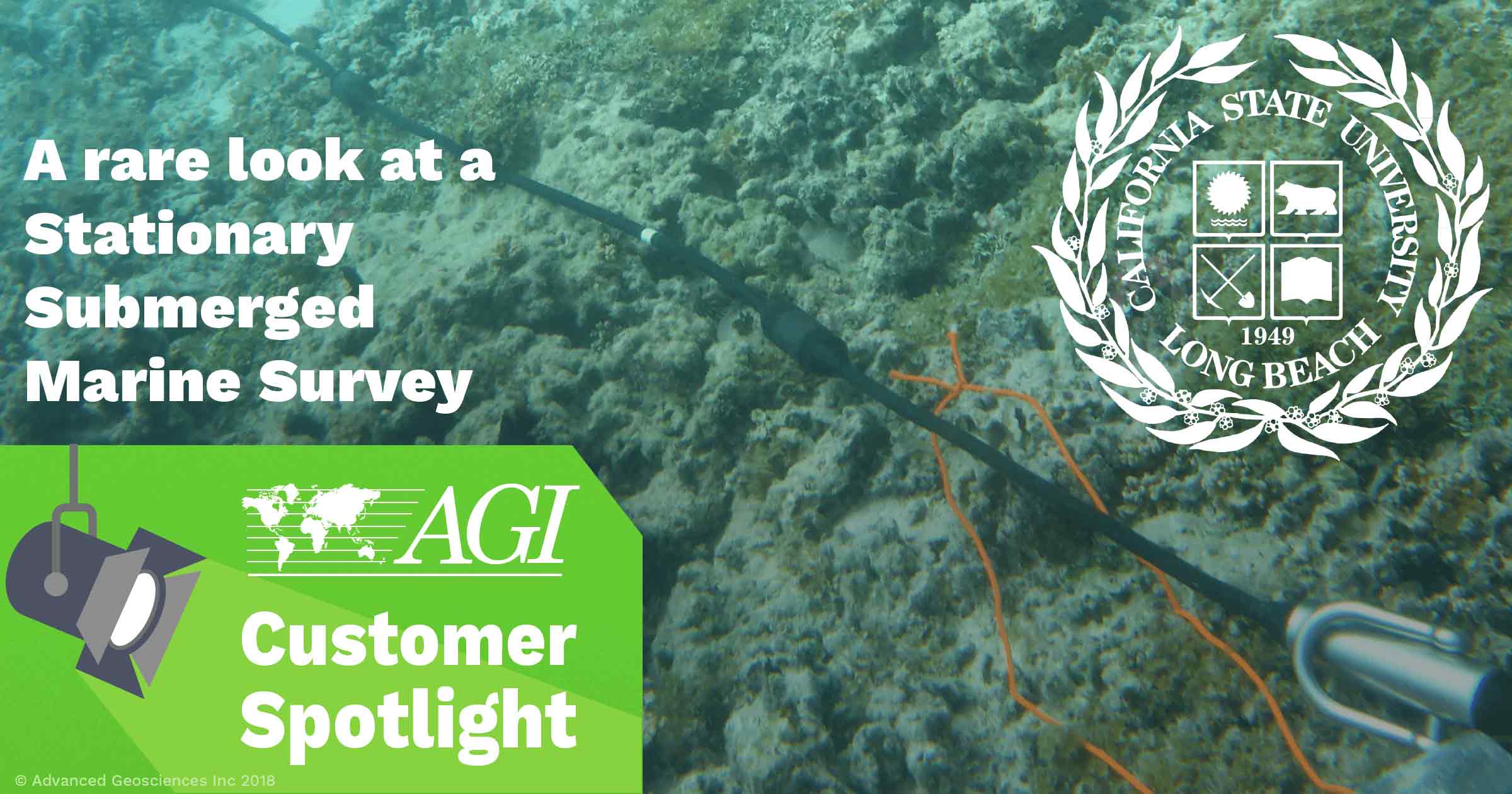
One of the coolest applications of resistivity is in the marine environment. Don’t get us wrong, we love solid earth too (it’s our bread and butter after all)—but when you see footage like the video below, you can’t help but be blown away.
Our friend, Matt Becker from the Conrey Hydrogeology Program at California State University Long Beach recently used our passive graphite electrode cables to do a stationary submerged marine survey. As the name suggests, this is a marine resistivity survey where the cable is submerged underwater instead of being towed behind a boat or floating on the water’s surface.

If you’re planning a marine or nearshore survey—and you’re using the AGI SwitchBox— the stationary submerged or stationary floating method will give you the highest resolution. This is because the AGI SwitchBox automatically switches between many unique dipole combinations or measurements on a 2D/3D grid of electrodes over several minutes.

Alternatively, when the cable is towed by a boat, a singular spacing and streaming dipole geometry is collected as fast as possible due to time constraints on the moving cable. This leads to very efficient linear data coverage at a slightly lower resolution.
You can see the difference in resolution in the data examples below.

Sample of towed marine data resolution in AGI EarthImager™

Sample of submerged marine data resolution in AGI EarthImager™
If you want to learn more about marine surveys, check out our SuperSting™ Marine System page. There’s helpful information about our latest system designed for marine surveys. Also, be sure to sign up for our webinar alerts. We periodically host “Ask me Anything” webinars where you can ask any question you want to our experts! They can answer your marine survey questions and more.

