- Office Hours: M-F 8:30 AM - 5:00 PM
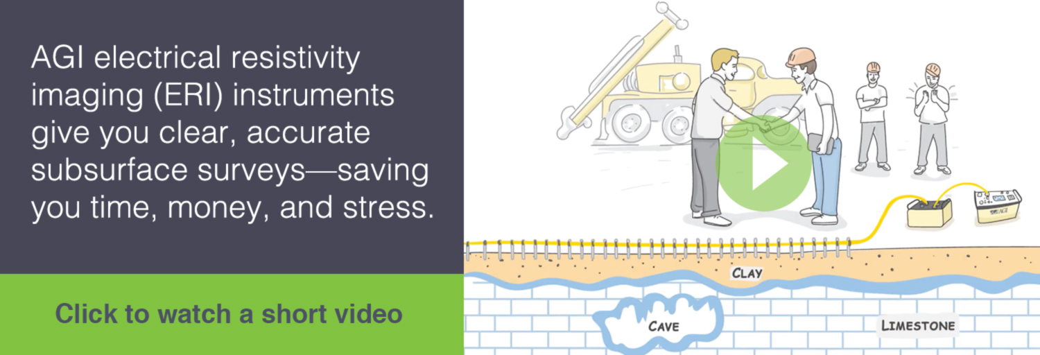

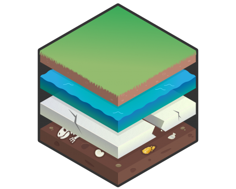
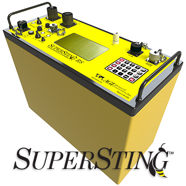
The SuperSting™ Wi-Fi is a next-generation electrical resistivity meter and induced polarization (IP), and self-potential (SP) system, used to scan and image the subsurface of the earth and visualize the results in 2D slices or 3D volumes.
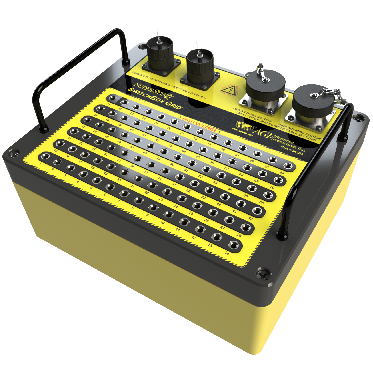
The SwitchBox Grid is available for the SuperSting™ WiFi. The SwitchBox Grid makes it possible to connect separate wires from each electrode using a regular banana plug. Each banana socket is sealed to the inside of the grid box making it usable in harsh environments.
The SwitchBox Grid has been designed with special emphasis on ease of cleaning the surface of the grid box. The lid is also made of a non-conductive thermoplastic material preventing leakage between connectors.
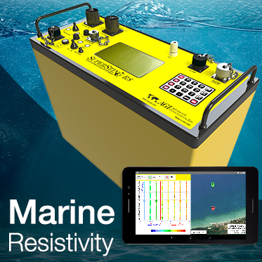
For years, the SuperSting™ has given our customers unparalleled subsurface detail. Now, with the Marine Resistivity System add-on module, you can collect streaming marine data with a towed cable.
This fully automated add-on module allows for hydrographic surveys with continuously recording ERI data which contain positional data from a GPS receiver—along with the depth profile measured with 200Khz echo sounder.
You can try EarthImager™—our best-in-class resistivity inversion software—FREE for 30 days! All versions are available to try out!
Request a demo of EarthImager™ 3D

In this ongoing series we’re going to tackle important information you need to know about groundwater. Groundwater is a topic that comes up a lot here at Advanced Geosciences. We figure why not share our wealth of knowledge with the world? Everything from what groundater is, to how to find it, and so much more! Check back often for new updates!
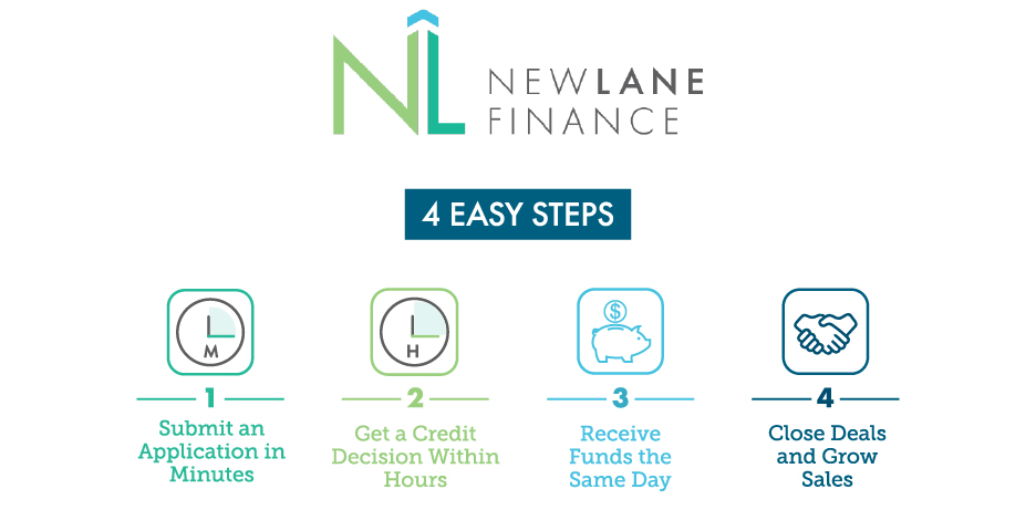
Our domestic customers can finance their equipment with our partners at NewLane Finance. NewLane Finance is an equipment leasing company backed by WSFS Bank. With the tagline of “Business Lending Done Right”, NewLane delivers simple, fast and competitive equipment financing solutions that meet your cash-flow needs no matter what size your company is.
Click here to learn how to finance your equipment
We arm our customers with the knowledge they need to complete their surveys effectively and within budget. Take a look through some valuable resources below.
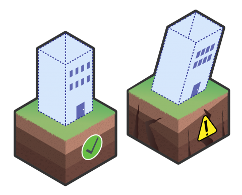
When you can see what you're working with below the surface, you can make better decisions that save you time and money.
