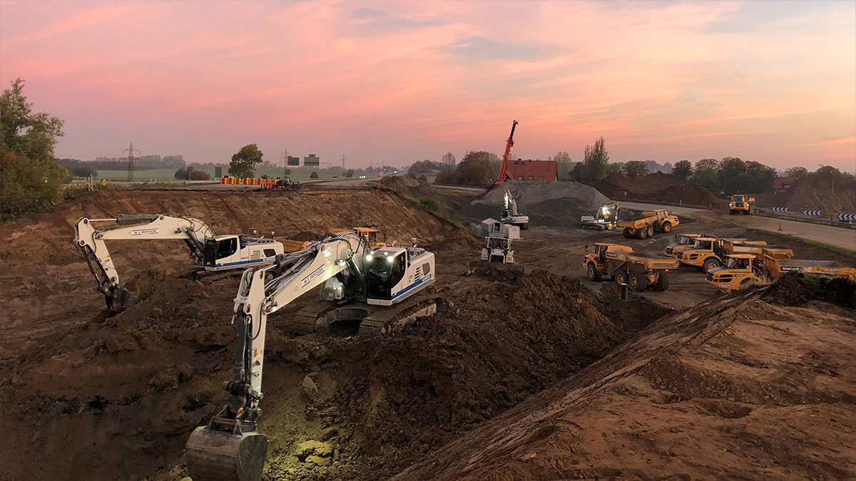
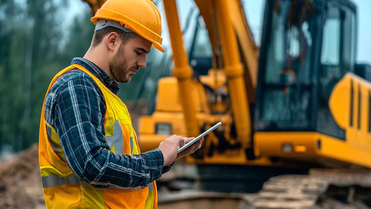
Geotechnical engineering, a fundamental branch of civil engineering, is centered on understanding earth materials and their interaction with human-made structures. Whether designing the foundation of a skyscraper or stabilizing a hillside to prevent landslides, geotechnical engineers must analyze and manage complex subsurface conditions to ensure the stability and safety of infrastructure. As part of this process, Electrical Resistivity Imaging (ERI), also known as Electrical Resistivity Tomography (ERT), has emerged as a critical geophysical tool. ERI provides detailed subsurface data without requiring extensive drilling or excavation, making it invaluable in modern geotechnical applications. Let’s explore the scope of geotechnical work and how professionals use ERI to enhance construction projects' safety, efficiency, and sustainability.
What is Geotechnical Work?
In our last blog post, we took a brief overview of geotechnical work. It involves analyzing, designing, and constructing the various structures that interact with the earth, such as foundations, slopes, retaining walls, tunnels, and embankments. These structures must be carefully planned to ensure the long-term stability of the infrastructure, particularly in challenging environments where soil conditions, groundwater, and seismic activity pose risks. Each of these projects involves understanding complex subsurface dynamics, and this is where Electrical Resistivity Imaging (ERI) plays a vital role.
How is ERI Used in Geotechnical Work?
Electrical Resistivity Imaging (ERI) has transformed geotechnical work by providing a clear picture of subsurface conditions without requiring extensive and invasive investigation methods like drilling. ERI sends electrical currents through the ground and measures the subsurface materials' resistivity (resistance to electrical flow). Different materials—such as clay, sand, rock, and groundwater—have distinct resistivity properties, allowing engineers to map subsurface features accurately.
Here are just a few applications of ERI in geotechnical engineering:
Site Characterization:
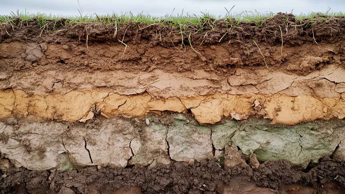
ERI allows engineers to gather detailed information about subsurface conditions, including the distribution of soil layers, rock formations, and groundwater levels. This data is crucial for determining a site's suitability for construction and helps design appropriate foundations and support structures.
Identifying Anomalies:
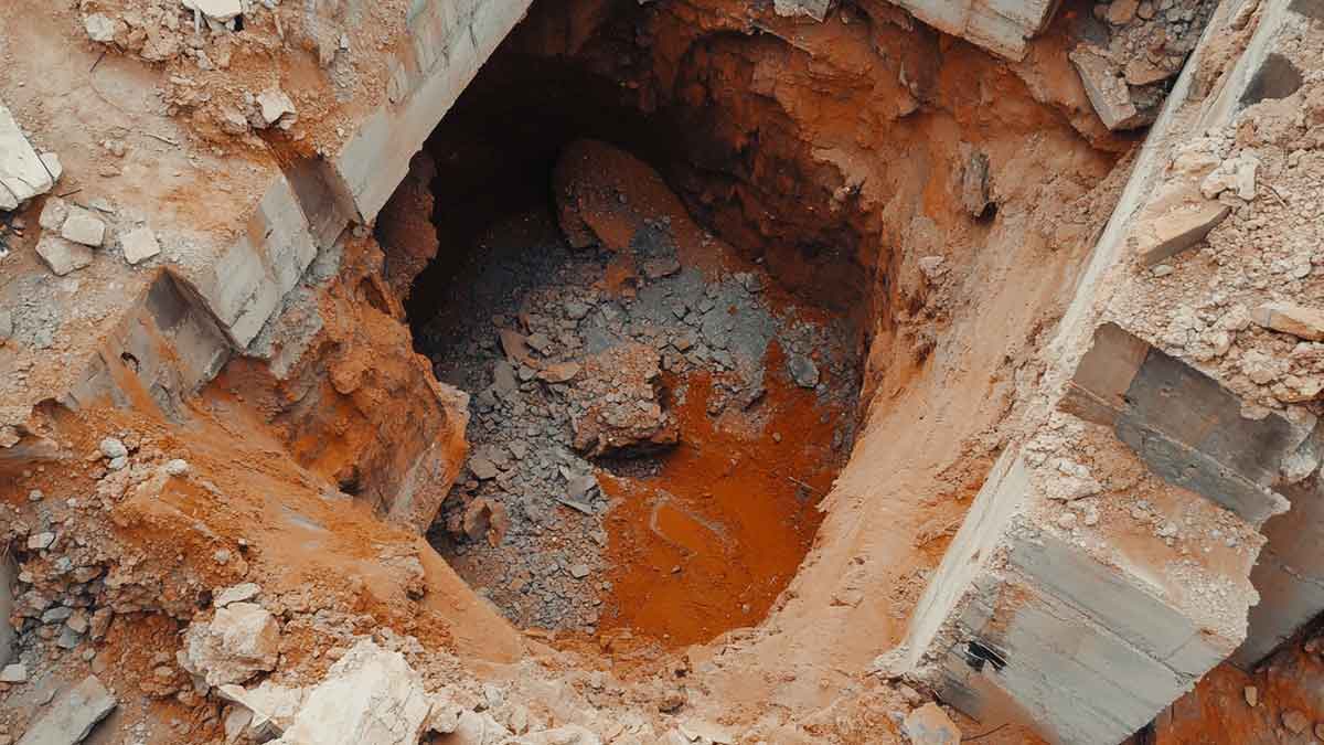
ERI can detect subsurface anomalies such as voids, fractures, and zones of weakness that may pose risks to construction projects. By identifying these potential hazards early, engineers can adjust designs or reinforce areas of concern, reducing the likelihood of costly failures or delays.
Assessing Groundwater Conditions:
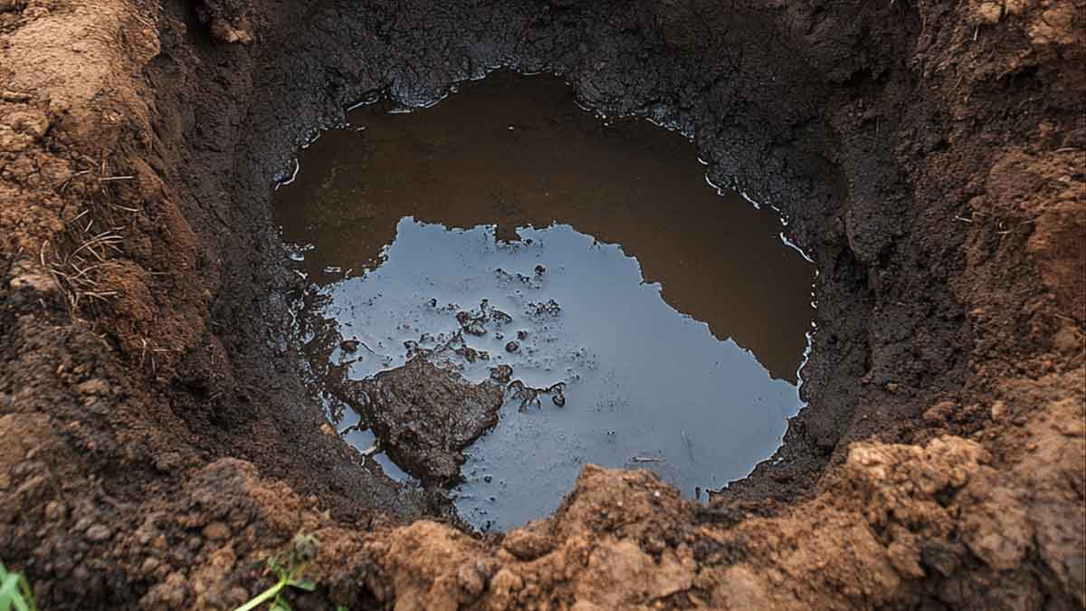
Groundwater poses significant challenges in geotechnical work, especially for projects involving deep foundations, tunneling, or slope stability. ERI can map groundwater distribution and movement, providing insights into how water interacts with soil and rock—essential for managing water-related issues.
Monitoring Changes Over Time:
ERI can monitor changes in subsurface conditions over time, such as shifts in soil compaction, groundwater movement, or the effectiveness of ground improvement techniques. This real-time monitoring helps geotechnical engineers evaluate whether interventions, such as drainage systems or reinforcements, work as intended.
Evaluating Soil Properties:
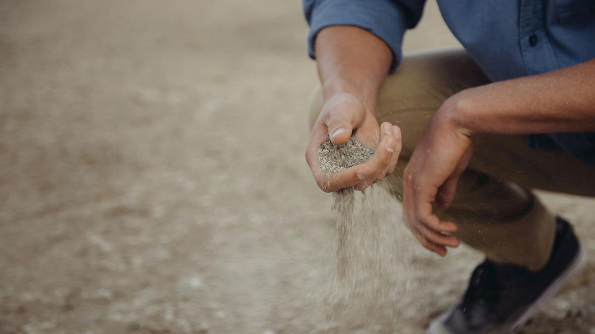
ERI indirectly provides information about soil properties such as moisture content, porosity, and voids or fractures. These properties are critical for assessing the soil's stability and determining whether additional stabilization measures, such as soil reinforcement or drainage systems, are necessary.
Check out this example of a cross-borehole ERI survey that was done to evaluate the integrity of a chimney “soilcrete” grouting foundation.
Benefits of Using ERI in Geotechnical Engineering
ERI offers several critical advantages over traditional subsurface investigation methods, making it a valuable tool in geotechnical engineering:
-
Non-Invasive: As mentioned in a recent blog post, one of the primary benefits of ERI is that it is a non-destructive technique. Unlike drilling or excavation, ERI minimizes disturbance to the site, making it ideal for projects in sensitive or challenging environments, such as urban areas, historical sites, or ecologically fragile regions.
-
Cost-Effective: ERI can significantly lower the cost of site investigations by reducing the need for extensive drilling. This savings is significant for large projects where conventional drilling methods would be prohibitively expensive or time-consuming. ERI allows engineers to gather extensive subsurface data quickly and efficiently.
-
High-Resolution Data: ERI provides high-resolution images of the subsurface, offering greater accuracy in identifying geological features than other methods. This allows for more informed decision-making and better planning, ultimately leading to safer and more efficient project outcomes.
-
Versatile Applications: ERI is a highly adaptable tool in various geotechnical scenarios. Whether it's urban construction, remote infrastructure development, or managing environmental challenges like groundwater contamination, ERI is a versatile solution.
Conclusion
Electrical Resistivity Imaging (ERI) has revolutionized geotechnical engineering by offering a non-invasive, cost-effective, and highly accurate method for understanding complex subsurface conditions. From site characterization and anomaly detection to groundwater assessment and soil evaluation, ERI provides geotechnical professionals with the data they need to design safer, more efficient, and more sustainable construction projects. As the field of geotechnical engineering continues to evolve, ERI will play an increasingly critical role in ensuring that infrastructure is built on solid ground, enhancing both the longevity and resilience of geotechnical endeavors.
