The three-dimensional (3D) time-lapse resistivity survey is the holy grail of resistivity surveys. It is an extremely accurate and effective method that allows you to not only see the surveyed area in three dimensions—but also how the resistivity in the surveyed area changes over time.
Method, Technology, & Applications
To perform a 3D time-lapse resistivity survey, you place your electrodes in a grid and record multiple surveys over an extended period of time. Using AGI’s EarthImager 3D technology, you can create a moving picture of changes happening in the surveyed area. There are a number of applications in which a 3D time-lapse survey is critical; we’ll walk through a couple of them below:
1. Environmental Remediation
One practical application of 3D time-lapse resistivity surveys is seeing the progression of how environmental spills or pollutants are moving through the ground. For example, if there is a brine (highly salinated water) spill, the disaster cleanup company may need a clear picture of where the spill is moving. Further, you can regularly survey the area as the clean-up process is progressing.
2. Landfill Leakage Monitoring
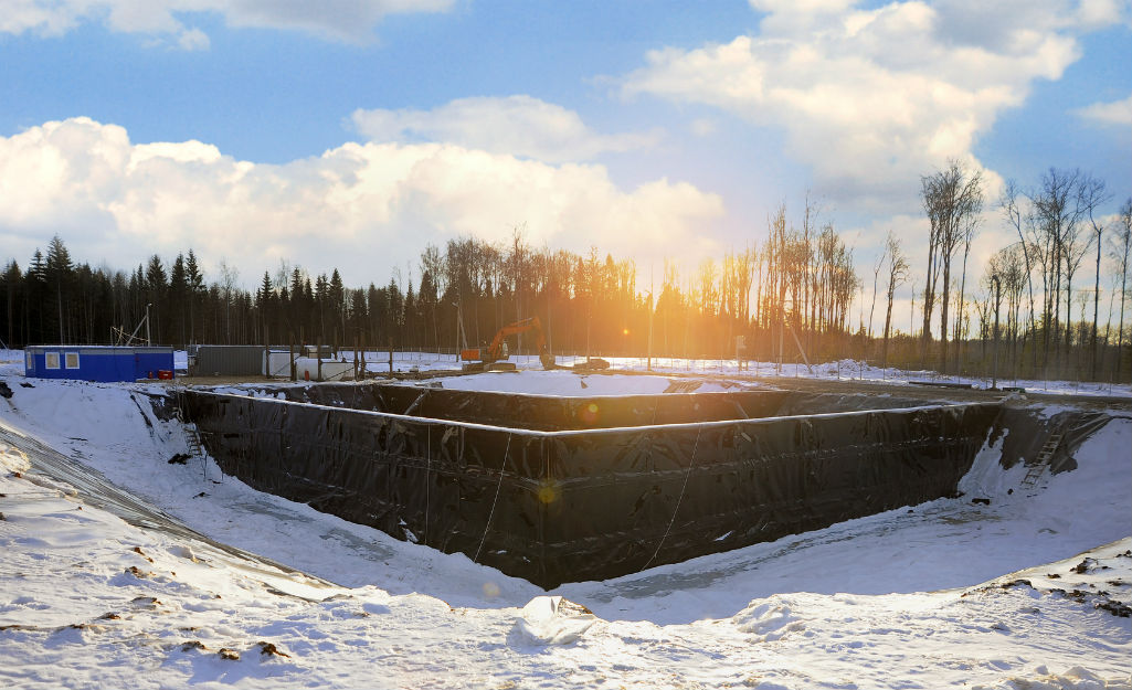
3D time-lapse surveys are extremely useful—and have great cost benefits—at landfills. Landfills are often shaped like large bowls, and sealed with both a clay liner and a rubber liner to ensure that rainwater percolating through the landfill forming a leachate doesn’t seep into the ground. Additionally, leachate that percolates to the bottom of the landfill pile is often pumped back up and re-injected into the trash. This moistens the material so bacteria can break it down easily and quickly. (Alternatively the leachate is removed and treated on-site.)
Electrodes can be placed indefinitely under the landfill liners. Surveys can be taken at regular intervals to ensure the polluted water does not leak into the ground. Any possible leaks—and how the fluid moves in the ground—can be detected quickly.
3. Lab Research & Special Investigations
3D time-lapse resistivity tests are also extremely useful for research and special investigations. For example, if a scientist wants to study what happens when a pollutant or chemical is injected in the ground (via a controlled area), researchers could do so by taking many 3D measurements over time. Similarly, they could use 3D time-lapse resistivity testing to closely examine the path water takes as it moves through the ground in a particular area. This could be helpful in a dry, arid environment to learn more about groundwater patterns.
Limitations
The only real limitation of the 3D time-lapse resistivity survey is time. Geologic processes are fairly slow, which means the electrodes may have to sit out for a long time and withstand a number of potentially damaging situations (including corrosion, people driving with machinery, and more). Thus, it is important that the equipment is designed right for this kind of application and is installed correctly.

